
8HoursMining cloud mining platform, daily profits up to $9,337
Section: Business
Germany is experiencing a brief spell of spring-like weather, with clear skies and pleasant temperatures this weekend. However, this warm phase is expected to come to an end shortly.
According to the German Weather Service, temperatures today could reach between 15 and 20 degrees Celsius. From Monday onwards, however, the weather is predicted to become more changeable.
As the current high-pressure system, named Ingeborg, retreats, a significant shift in the weather pattern will occur. This transition is expected to bring colder temperatures from the northwest, as polar air masses flow into Central Europe.
A weather expert has noted that the cold snap is primarily due to a strong low-pressure system forming over the Atlantic, which will draw in chilly air from the northern regions. This shift will likely lead to a noticeable drop in temperatures.
The incoming air masses from the northwest are considerably cooler than the warm air currently in place. This change will also introduce unstable and moist weather conditions. While sunshine has been warming the region, the forecast for next week indicates more cloud cover, increased winds, and the possibility of rain, which will further amplify the cooling trend.
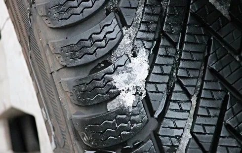
Additionally, the lack of heat retention in the ground will facilitate the spread of cold air at night, increasing the chances of frost and even light snow showers, particularly in elevated areas where wintry conditions may briefly return.
A climatologist has indicated that the peak of this cold wave is expected around Friday and Saturday, with temperatures dropping to between 5 and 8 degrees Celsius in many regions, accompanied by some rainfall. Areas above 600 meters may experience snow and sleet, creating slippery conditions in the central highlands. Following this cold spell, drier and more pleasant weather is anticipated to gradually return.
March is known as a transitional month, often characterized by abrupt weather changes. While high-pressure systems can usher in early spring warmth, a single low-pressure system and altered air flow can dramatically reverse this trend. Thus, the upcoming cold snap is not unusual, but it stands in stark contrast to the recent warm days.
Section: Business

Section: Arts

Section: Politics

Section: Health Insurance

Section: News
Section: News

Section: News

Section: Arts
Section: News

Section: Arts
Health Insurance in Germany is compulsory and sometimes complicated, not to mention expensive. As an expat, you are required to navigate this landscape within weeks of arriving, so check our FAQ on PKV. For our guide on resources and access to agents who can give you a competitive quote, try our PKV Cost comparison tool.
Germany is famous for its medical expertise and extensive number of hospitals and clinics. See this comprehensive directory of hospitals and clinics across the country, complete with links to their websites, addresses, contact info, and specializations/services.
Frisch mit dem Amadeus Austrian Music Award ausgezeichnet, meldet sich OSKA mit neuer Musik und neuen Tourdaten zurück. Ihr zweites Album ,,Refined Believer" erscheint am 20. Juni 2025 und zeigt sie persönlicher und facettenreicher denn je. Noch in diesem Jahr geht sie solo auf Tour, bevor sie...


No comments yet. Be the first to comment!