
Gipsy Kings: "Music Is a Natural Way of Life"
Section: Arts
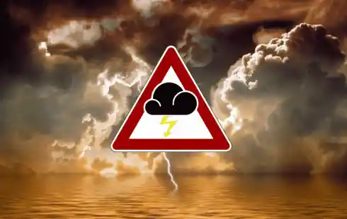 As the world braces for the upcoming Atlantic hurricane season, scientists warn of unprecedented storm activity fueled by climate change and rising sea temperatures. Projections indicate that 2024 could witness a historic surge in tropical storms, prompting calls for an expanded hurricane scale to accurately assess their intensity. Here's a comprehensive analysis of the forecasted superstorm season:
Colorado State University researchers anticipate an exceptionally active storm season in the Caribbean, with up to 23 tropical storms expected during the Atlantic hurricane season, commencing officially on June 1st. This projection, doubling the historical average between 1966 and 2022, underscores the alarming escalation in storm frequency. Similarly, the American climate agency NOAA forecasts an above-average hurricane season, estimating a potential 25 tropical cyclones.
Approximately half of these storms possess the capacity to escalate into hurricanes, boasting average wind speeds reaching 177 kilometers per hour. Such predictions suggest a staggering 53% increase in hurricanes compared to the long-term average from 1991 to 2020. While not all storms result in catastrophic landfall, this year's models indicate a substantial probability of severe hurricanes striking the Bahamas, Cuba, or the Florida coast.
Historically, September marks the peak of the Atlantic hurricane season, coinciding with ocean temperatures surpassing 26.5 degrees Celsius at depths of nearly 45 meters. Favorable atmospheric conditions in the tropics further facilitate hurricane formation, driven by the ascent of heated air masses.
Meteorologist Michael Bell and his team attribute the anticipated surge in tropical cyclones to two primary factors: elevated Atlantic water temperatures and an impending shift from El Niño to La Niña conditions. Early-season temperatures exceeding 26.5 degrees Celsius promote evaporation, enhancing heat transport into the atmosphere. Additionally, during La Niña phases, weakened vertical wind shear in the Atlantic basin allows unhindered ascent of warm, moist air from the ocean surface, conducive to storm genesis.
Last year's hurricane season, marked by unusually high storm activity during an El Niño phase, serves as a harbinger of escalating tropical cyclone occurrences. NOAA's Oceanic Niño Index (ONI) indicates a moderate El Niño event, with sea surface temperatures deviating by +1 degree from the long-term average. Conversely, La Niña conditions, characterized by negative ONI values, correlate with reduced vertical wind shear, fostering heightened storm formation.
The forecasted intensification of hurricanes prompts reconsideration of the Saffir-Simpson scale, designed to classify cyclone damage potential based on wind speed. Atmospheric researchers Michael Wehner and James Kossin advocate for extending the scale to include a sixth category, acknowledging the rising prevalence of category five hurricanes with wind speeds exceeding 252 kilometers per hour. They argue that as global warming accelerates, conventional categorization fails to adequately convey the escalating threat posed by superstorms.
In light of these developments, experts urge enhanced public awareness and preparedness measures to mitigate the growing risks associated with extreme weather events. With the specter of more frequent and severe hurricanes looming, proactive measures and adaptive strategies are imperative to safeguard vulnerable coastal communities worldwide.
Image by Gerd Altmann from Pixabay
Section: Arts

Section: Fashion

Section: Travel

Section: Health Insurance

Section: News

Section: Politics

Section: Business

Section: Health

Section: Arts

Section: Business
Both private Health Insurance in Germany and public insurance, is often complicated to navigate, not to mention expensive. As an expat, you are required to navigate this landscape within weeks of arriving, so check our FAQ on PKV. For our guide on resources and access to agents who can give you a competitive quote, try our PKV Cost comparison tool.
Germany is famous for its medical expertise and extensive number of hospitals and clinics. See this comprehensive directory of hospitals and clinics across the country, complete with links to their websites, addresses, contact info, and specializations/services.
Didn't manage to get a ticket for Linkin Park? Or still not enough after the concert? Join us at CRASH on June 12th for our "IN THE END" Linkin Park Special + CORE NIGHT.All night long, we'll be playing Linkin Park's music, along with Nu Metal, Metalcore, and Alternative Rock from bands such as Limp...


No comments yet. Be the first to comment!