
New to Germany? Avoid These Common Health Insurance Mistakes
Section: Health Insurance
 This October feels more like August in many parts of Germany: Up to 26 degrees were measured in Rosenheim on Sunday. On Monday afternoon, it could get even hotter. On the Upper Rhine, up to 27 degrees are possible, and it could be similarly warm in the regions around Magdeburg and Leipzig.
What is clear is that it is unusually mild for mid-October right now, and the German Weather Service expects that regional records could fall for this period. In principle, however, individual days with more than 20 degrees in October are nothing unusual. Last year, for example, 27.5 degrees were measured in Munich on German Unity Day. Currently, the warm temperatures are mainly due to warm sea air flowing in from the south. However, average temperatures are also rising over the long term, a clear consequence of climate change. While the average temperature in October between 1961 and 1990 was still 9.0 degrees, it was already 9.4 degrees in the subsequent 30-year period between 1991 and 2020.
Will the mild temperatures also slow down gas consumption and ease the energy crisis? Probably only to a very limited extent. According to the Federal Network Agency, gas is currently still being stored, but at a low level with a recent increase of 0.17 percentage points per day. This has less to do with the current weather situation and more to do with the fact that gas storage facilities are already very well filled, currently at 95.14 percent, and that storage facilities with a high fill level are slower to fill. In addition, experience shows that gas consumption in households does not rise sharply until the second week of November, when a particularly large number of people turn on the heating. The fact that temperatures in early fall do not yet play such a major role in gas consumption is also shown by the comparison between September 2022 and September of the previous year. For example, it was noticeably colder this year than in September 2021, but household consumption was still below the previous year's level, which probably also has something to do with conscious savings.
By far the most gas is consumed in the months of December, January and February. The winter will therefore be decisive for how quickly the gas storage facilities empty. However, no one can say for sure at the moment whether it will be particularly warm or cold.
What is certain is that winters have recently become warmer and warmer. According to the German Weather Service (DWD), the average temperature of the past ten winters was 2.2 degrees Celsius above the average from 1961 to 1990. At all weather stations, the number of frosty days is also declining in the long term. These are days on which the temperature falls below freezing point. In Frankfurt, for example, this was the case on average 55 times a year between 1961 and 1990, but only 44 times between 1991 and 2020. The first frost of the year also shifts further and further back in the course of the year. In Munich, the first frost occurs on November 6 on average, about a week later than between 1961 and 1990. These changes are a noticeable expression of global warming. However, this does not mean that ice-cold winters are no longer possible at all.
Even if it is still like looking into a crystal ball at the moment, the European climate change service Copernicus considers such a cold winter in Europe to be at least unlikely this year in its latest seasonal forecast. The probability of above-average temperatures in large parts of Central Europe, the Mediterranean region and Great Britain between December and February is 50 to 60 percent.
The current summer temperatures, on the other hand, are likely to end soon. Already on Monday, there should be widespread thunderstorms and rain in the northwest half of Germany. In the south, showers and thunderstorms are expected from Tuesday.
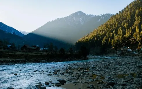
Photo by Michal Matlon
Section: Health Insurance

Section: Health

Section: News

Section: Arts
Section: Arts
Section: Politics

Section: Politics
Section: News

Section: Politics

Section: Health Insurance
Health Insurance in Germany is compulsory and sometimes complicated, not to mention expensive. As an expat, you are required to navigate this landscape within weeks of arriving, so check our FAQ on PKV. For our guide on resources and access to agents who can give you a competitive quote, try our PKV Cost comparison tool.
Germany is famous for its medical expertise and extensive number of hospitals and clinics. See this comprehensive directory of hospitals and clinics across the country, complete with links to their websites, addresses, contact info, and specializations/services.
Offene Wunde is a documentary theater piece about the attack at the Olympia Einkaufszentrum (OEZ) by Tunay Önder and Christine Umpfenbach. On July 22, 2016, a perpetrator motivated by racism killed nine young people from Munich: Armela, Can, Dijamant, Guiliano, Hüseyin, Roberto, Sabine, Selçuk,...


No comments yet. Be the first to comment!